Transforming Existing Structures: Point Cloud to 3D Models
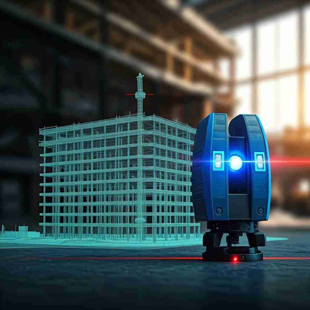
Point cloud scanning is redefining how professionals in the architecture and construction industries approach the task of modeling existing structures.
According to a report by Research and Markets, the global point cloud scanning market is expected to grow from $4.3 billion in 2021 to $9.7 billion by 2026, representing a CAGR of 18%. This rapid growth underscores the increasing adoption of advanced scanning technologies in the built environment.
In this blog post, we’ll explore the transformative journey of point cloud scanning to 3D model, how this technology enhances precision and efficiency, and why BuildHub is your ideal partner in leveraging these innovations.
We will cover various aspects of point cloud surveys, including the scan to BIM services BuildHub provides and how they can benefit your projects.
What is Point Cloud Scanning?
Point cloud scanning is a technique that captures the precise shape and size of an object or environment using lasers. This process generates a collection of data points, or a “point cloud,” representing the surface of the scanned object.
The result is a highly accurate 3D model that architects, engineers, and construction professionals can use to inform their design and construction processes.
The process of point cloud survey involves deploying various types of 3D scanners, including terrestrial laser scanners, mobile scanners, and handheld scanners, to capture the details of an environment.
Each scanner has unique capabilities, allowing professionals to choose the best option based on their specific needs. For instance, terrestrial laser scanners are ideal for large-scale projects, while handheld scanners are more suited for smaller spaces or intricate details.
Understanding the different types of 3D scanners can help professionals select the most appropriate tools for their projects. This knowledge can lead to more efficient workflows and improved project outcomes.
How Does Point Cloud Scanning Work?
The process of point cloud scanning begins with the selection of the scanning method and equipment. Once the appropriate scanner is chosen, the scanning team sets up the equipment to capture the necessary data.
The laser beams emitted from the scanner bounce off surfaces and return to the device, allowing it to measure distances and create a point cloud of the environment.
Once the data is collected, it undergoes processing to create a coherent 3D model. The resulting point cloud to 3D model can be imported into various software applications for further analysis, design, or simulation.
One popular use of this technology is in the scan to BIM modeling services, which allows for seamless integration of point cloud data into Building Information Modeling (BIM) systems.
What are the Benefits of Using Point Cloud Scanning?
The advantages of point cloud scanning in the construction and architecture industries are numerous. Here are some key benefits:
- Accuracy: Point cloud scanning provides incredibly precise measurements, reducing the likelihood of errors in design and construction.
- Speed: The scanning process is significantly faster than traditional surveying methods, allowing for quicker project turnaround times.
- Comprehensive Data Collection: Point cloud scanning captures all visible features of an environment, providing a complete dataset for analysis and modeling.
- Improved Collaboration: With the ability to create detailed 3D models, stakeholders can collaborate more effectively, enhancing communication and reducing misunderstandings.
- Cost-Effectiveness: By minimizing errors and rework, point cloud scanning can lead to significant cost savings throughout the project lifecycle.
- Versatility: Point cloud data can be used across various applications, from architectural design to structural analysis and facility management.
These benefits make point cloud scanning an essential tool for modern construction and design practices. As the technology continues to evolve, more professionals are recognizing its potential to streamline workflows and enhance project outcomes.
How is Point Cloud Data Used in BIM?
The integration of point cloud data into BIM systems marks a significant advancement in the design and construction process. Here’s how this integration works:
Data Conversion
Point cloud data is converted into a 3D model that can be manipulated within a BIM environment. This conversion is critical for architects and engineers, as it allows them to work with a highly accurate representation of existing structures.
Enhanced Visualization
With the detailed models created from point cloud data, stakeholders can visualize projects more effectively, leading to better design decisions.
Clash Detection
The precise models allow for advanced clash detection, helping teams identify and resolve potential issues before construction begins. This proactive approach reduces delays and costs associated with rework.
Facility Management
Once the project is completed, the point cloud data can be used for ongoing facility management, providing accurate information for maintenance and renovations.
By leveraging scan to BIM services, construction professionals can significantly improve the efficiency of their projects, ensuring timely completion and adherence to budget constraints.
Why Choose BuildHub for Your Point Cloud Scanning Needs?
BuildHub is at the forefront of providing exceptional scan to BIM modeling services that utilize cutting-edge point cloud scanning technology. Our experienced team excels in transforming raw point cloud data into detailed 3D models, ensuring accuracy and efficiency throughout the process. Here’s why you should choose us:
Expertise
With years of experience in the BIM and digital engineering industry, BuildHub’s team of experts understands the intricacies of point cloud data and its application in various projects.
Advanced Technology
BuildHub uses state-of-the-art equipment and software to capture and process point cloud data, ensuring the highest level of accuracy and detail.
Comprehensive Services
Beyond point cloud scanning, BuildHub offers a wide range of BIM services, including architectural BIM, structural BIM, MEP BIM, drafting services, and more. This allows us to provide holistic solutions tailored to your project needs.
Collaborative Approach
At BuildHub, we prioritize collaboration with our clients, ensuring that your vision and requirements are at the forefront of our processes.
Competitive Pricing
We provide high-quality services at competitive rates, ensuring you receive exceptional value for your investment.
If you’re looking to optimize your construction workflow through point cloud scanning and scan to BIM services, BuildHub is here to help. Contact us today to schedule a consultation and discuss your project requirements.
Contact BuildHub Today for Expert Scan to BIM Services
The integration of point cloud scanning technology into the construction and architecture industries is transforming how professionals approach modeling existing structures. With its precision, speed, and comprehensive data collection capabilities, point cloud scanning is essential for modern project workflows.
BuildHub stands out as a trusted partner for professionals seeking scan to BIM services and comprehensive BIM solutions. Our expertise, advanced technology, and commitment to collaboration ensure that your projects are completed efficiently and accurately.
To learn more about how BuildHub can help you leverage point cloud scanning for your next project, schedule a free consultation today!

Frequently Asked Questions (FAQ’s)
What is a point cloud scan?
A point cloud scan is a collection of data points in 3D space, generated by scanning objects or environments. Each point represents a precise location and can be used for creating 3D models.
What is the difference between LiDAR and point cloud?
LiDAR (Light Detection and Ranging) is a technology that captures 3D data points using laser pulses, while a point cloud is the resulting dataset from LiDAR or other scanning technologies representing surfaces and structures.
What is cloud scanning?
Cloud scanning refers to capturing spatial data using various scanning technologies, like LiDAR or photogrammetry, to create a 3D representation of real-world objects or environments, often stored in the cloud for accessibility.
What is the point cloud concept?
The point cloud concept involves representing 3D shapes using numerous discrete points, each with coordinates and color information, allowing for accurate modeling, visualization, and analysis of physical structures and environments.
Related Posts
- Construction
Elevate Your Construction Projects with Professional BIM Consulting Services In the rapidly evolving construction industry, Building Information Modeling (BIM) has...
Transform Your Home with Professional Residential Design Services In today’s dynamic housing market, homeowners are increasingly turning to professional residential...
How BuildHub Is Transforming Projects with Virtual Construction In today’s rapidly evolving construction industry, embracing digital tools is essential for...